Research Areas
Projects
Projects
11 results
EO Baltic Platform for Governmental Services (EO-BALP)  Sentinel for confidence in outdated maps: SentiMap
 Technology for high-precision time-amplitude analysis of event flow (TIME-AMP)
 Remote Sensing and Machine Learning for Peatland Habitat Monitoring (PurvEO)
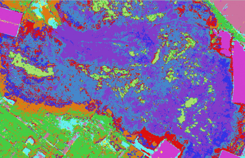 Object based context aware self-learning network for land cover classification (Dynland-2)
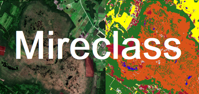
 Automated identification of mires and peatlands using multi-temporal satellite data (MireClass)
 Dynamic land use monitoring by fusion of satellite data (DynLand)
 On-board implementation of the multi-purpose Event Timer (MPET)
 Universal time event recorder for SLR, LiDAR and 3-D scan applications (LaReg)
 Experimental development of Multi-functional Time Analyser (SiLA)
 Dynamic land use monitoring (NevKlas)