Research Areas
Projects
Projects
5 results
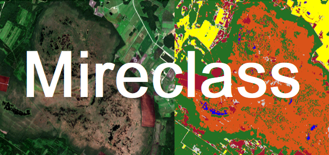
Monitoring urban waterfront and recreation territories (Waterfront)  EO Baltic Platform for Governmental Services (EO-BALP) Automated identification of mires and peatlands using multi-temporal satellite data (MireClass)
 Dynamic land use monitoring by fusion of satellite data (DynLand)
 On-board implementation of the multi-purpose Event Timer (MPET)