
Back to staff 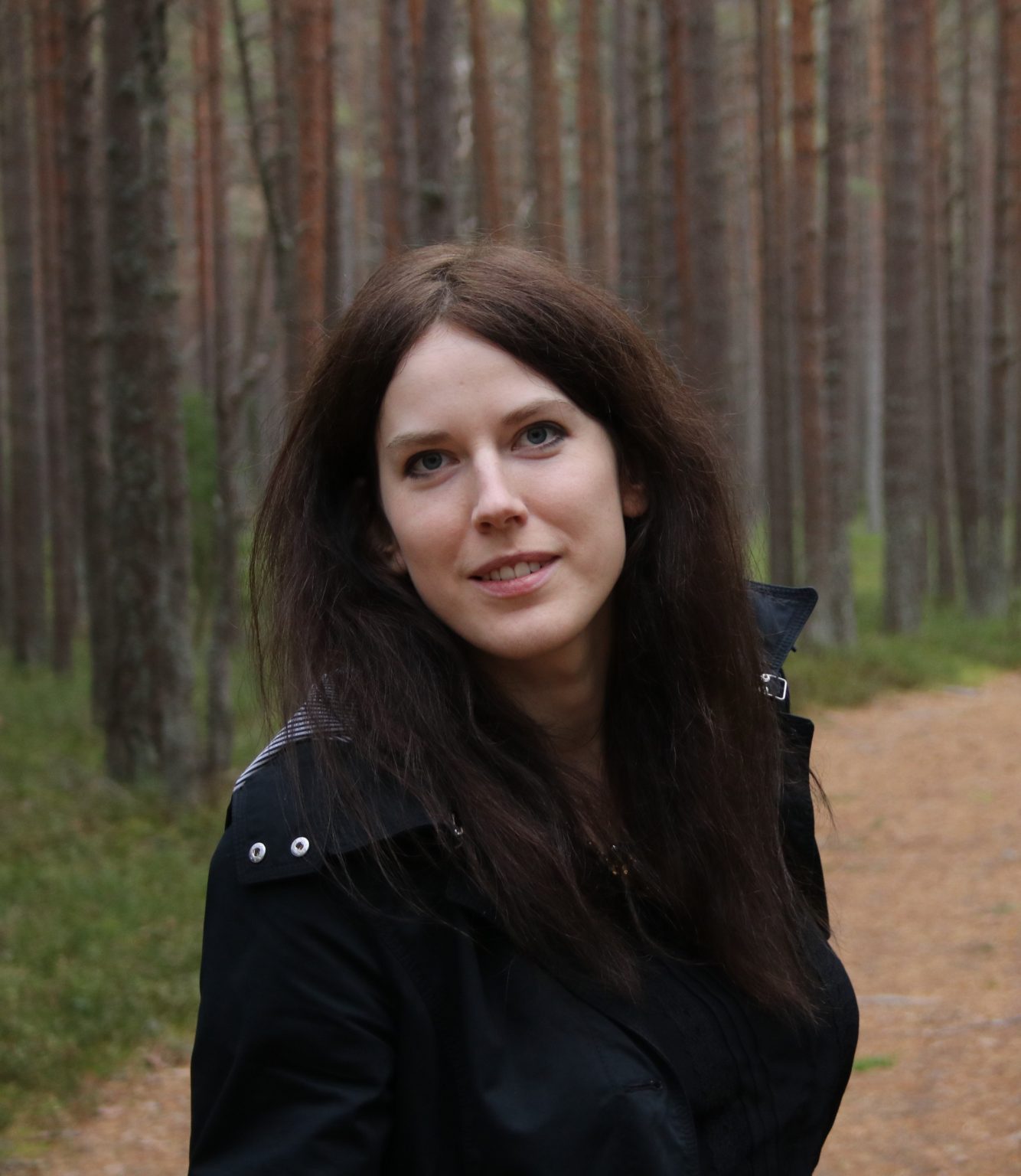
Linda Gulbe
Ph. D.
Researcher
Linda Gulbe has a doctoral degree in computer science and informatics. Her thesis, defended in 2020 in the University of Latvia, was focused on tree crown coverage mapping using lidar data and aerial photography.
Since 2019, Linda has been involved in various remote sensing-related projects at the EDI (Institute of Electronics and Computer Science) and her research interests and experience include deep learning, image processing algorithms, forest remote sensing and preparing specialized data processing workflows.
Projects
8 results
- Comprehensive analysis of hemiboreal forest structure, species composition and ecosystem services using VHR hyperspectral and LiDAR data (HYLIFORES) 01.01.2025 – 31.12.2027 Completed
- Monitoring urban waterfront and recreation territories (Waterfront) 01.10.2024 – 31.01.2026 Completed
- EO Baltic Platform for Governmental Services (EO-BALP) 01.11.2023 – 31.05.2025 Completed
- Sentinel for confidence in outdated maps: SentiMap 13.10.2022 – 12.12.2023 Completed
- Remote sensing based system for forest risk factor monitoring (Forest Risk) 01.03.2022 – 30.11.2023 Completed
- Remote Sensing and Machine Learning for Peatland Habitat Monitoring (PurvEO) 01.04.2021 – 31.05.2022 Completed
- Object based context aware self-learning network for land cover classification (Dynland-2) 01.04.2021 – 31.05.2022 Completed
- Satellite remote sensing- based forest stock estimation technology (WoodStock) 01.03.2019 – 28.02.2022 Completed
Publications
- 2022
Automated delineation of microstands in hemiboreal mixed forests using stereo GeoEye-1 data(opens in a new window)
Linda Gulbe, Juris Zarins, Ints Mednieks
MPDI Open Access Journals, Vol. 14 (6), p. https://www.mdpi.com/2072-4292/14/6/1471, MDPI