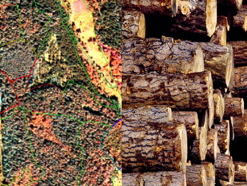
Forest stock volume estimation from satellite imagery
Project title: “Satellite remote sensing- based forest stock estimation technology (WoodStock)”
Partner: SIA Baltic Satellite Services
Project goal: To develop a cost-effective technology for assessing the amount of wood in the forest using only high-resolution optical and radar satellite data.
The project aims to develop satellite optical and radar imaging techniques to estimate tree species, tree height and forest density, and to determine the tree stock based on a model developed for this purpose.
The project is supported by JSC Latvian State Forests, which has provided inventory and harvester data for development of data processing methods and accuracy testing.