Satellite image processing algorithms
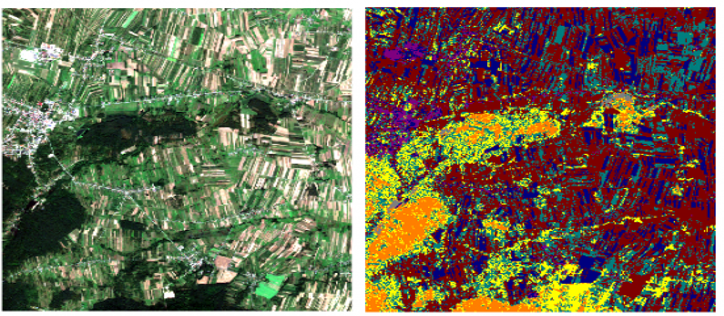
- Land cover (use) classification
- Forest mapping and classification
- Classification of bogs and peatlands
- Timber stock assessment
- Flood simulations from LiDAR data
Drone technologies
- Prototyping of custom drones
- Data acquisition and on-board processing (SoC)
- Inspection, localization, mapping
- Autonomous flight controller (without base station)
- TestBed for drone testing