![]()
![]()
“Dynamic land use monitoring (NevKlas)”
Agreement with Investment and Development Agency of Latvia, N0.KC-L-2017/14 and No. KC-PI-2017/95)
Scientific manager: Ints Mednieks (mednieks@edi.lv)
Project objective: The project aims at commercialization of the satellite image classification technology that is based on unsupervised clustering of image pixels followed by association of revealed clusters with target categories on the basis of interactive software tools.
The technology to be commercialized with the help of the proposed project is approved in the laboratory as the software prototype implemented in MATLAB®, performing the functions mentioned above. It is planned to perform Technical and Economic Feasibility study and develop commercialization strategy for focusing its commercialization to different applications.
At the first stage of the project, by July 31, 2018, a feasibility study and commercialization strategy was developed, analysing in depth the market demand for possible applications.
Project implementation site – Institute of Electronics and Computer Science
Total funding of the first stage: up to 27 777,78 EUR, of which ERDF funding up to 25 000 EUR
At the second stage of the Project from October 1,2018 to March 31, 2021 the commercialisation plan is implemented, including enhancement of the WiseClust land cover classification technology up to the level where it can be successfully passed to commercial partners.
Total funding of the second stage: 305 130 EUR, of which ERDF funding 274 617 EUR.
Project activities
22.-23.05.2018. Commercialization expert Gatis Bolinskis participates in the Geo Business 2018 exhibition in London to study the existing geomatics market and to make contacts with industry representatives.
31.07.2018. Documents developed during the stage 1 of the project submitted to the Investment and Development Agency of Latvia: Technical- Economic feasibility study, Commercialization strategy and Commercialization plan.
1.10.2018. Implementation of the 2nd stage of the project has started.
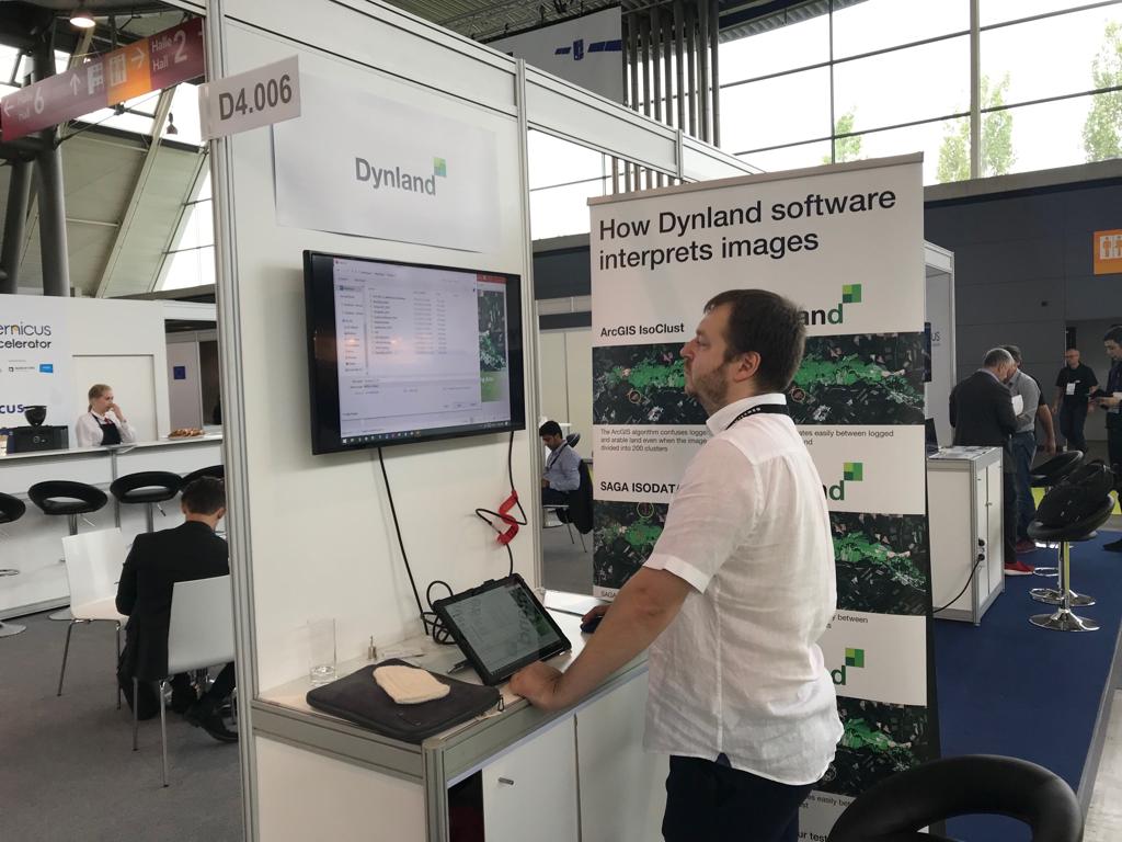
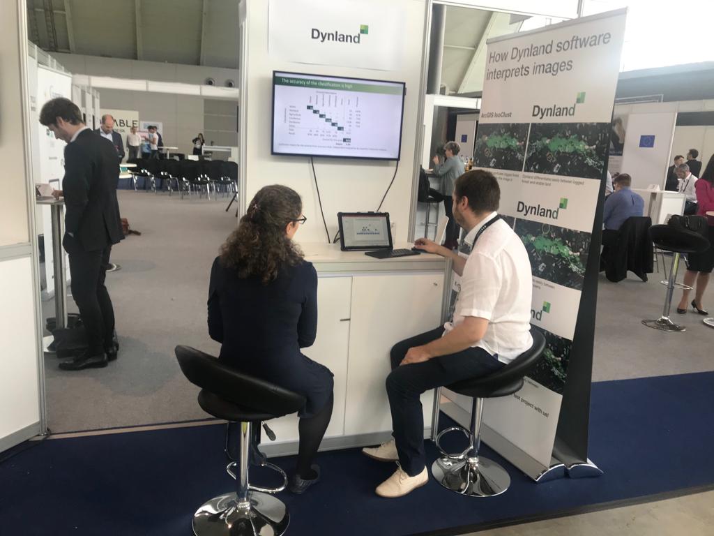
15.-19.10.2018. Project participants Gatis Bolinskis, Arnis Kadakovskis, Romans Dinuls and Ints Mednieks take part in the exhibition “Intergeo-2018” in Frankfurt, where they get acquainted with the offers, needs of the companies woring in the field of geomatics and
3.-6.12.2018. Gatis Bolinskis participates in the European Space Week event in Marseille, where he establishes contacts for deployment of WiseClust technology container.
28.02.2019. Contract signed for participation in GEO Business 2019 exhibition to be held in London on May 21-22 this year. The project will have a stand in the exhibition where the possibilities of WiseClust technology will be demonstrated.
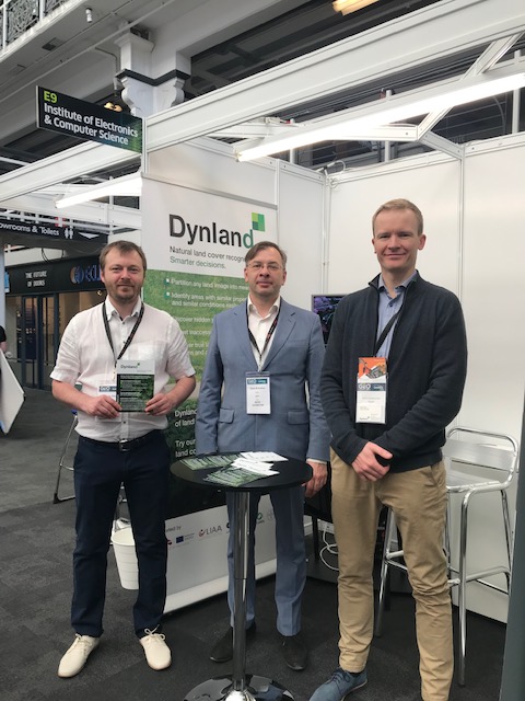
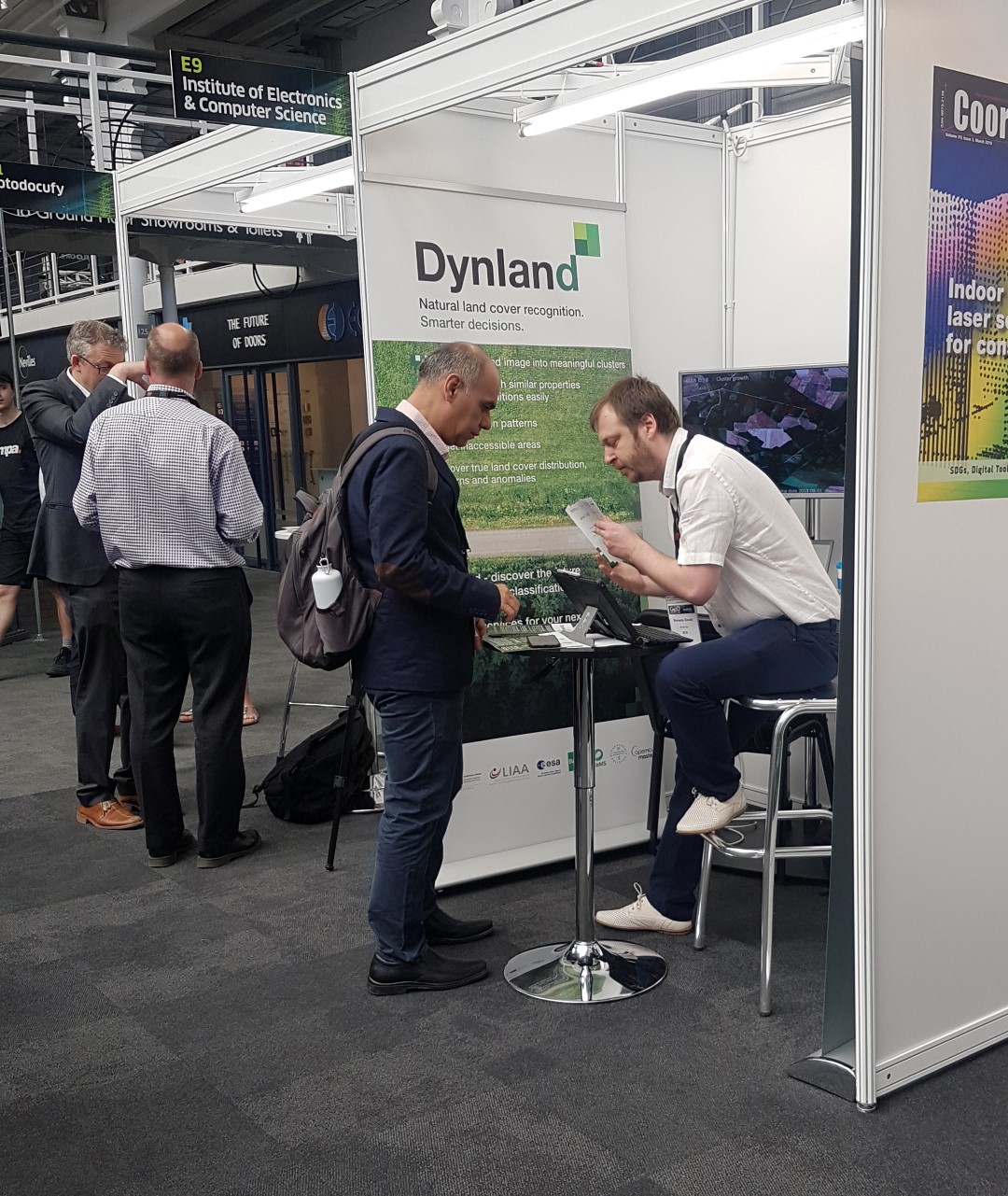
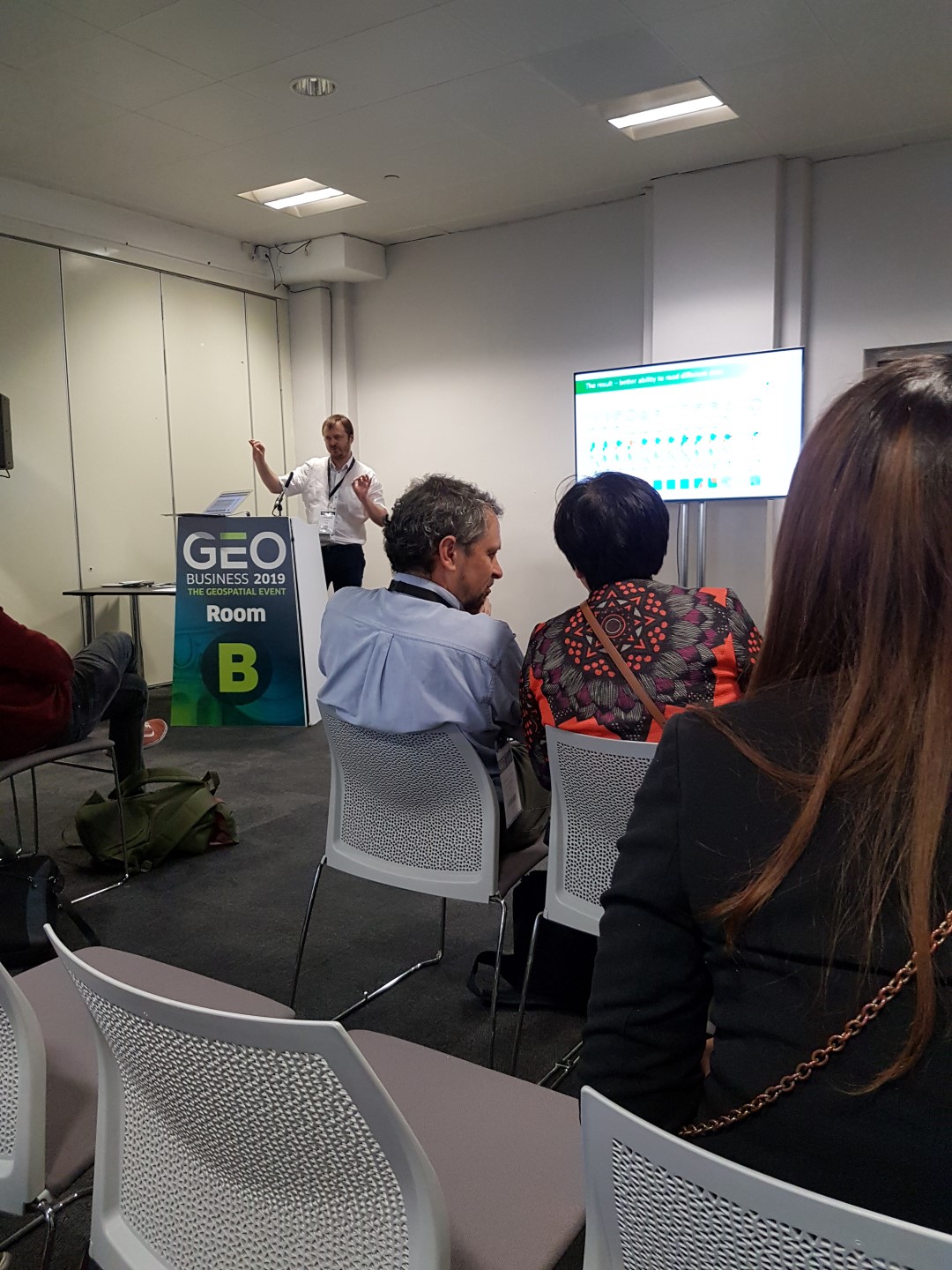
May 21-22. 2019. Gatis Bolinskis, Arnis Kadakovskis and Romans Dinuls participate in the Geo Business 2019 exhibition in London. They present the possibilities of WiseClust technology in our stand.
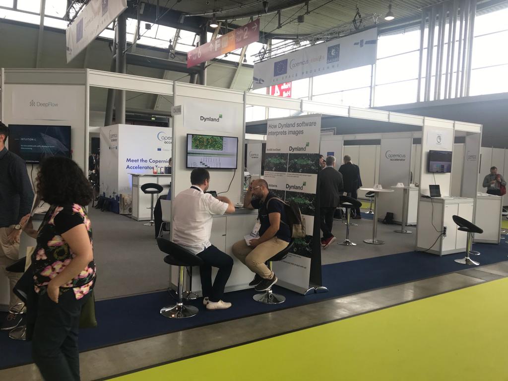
September 17-19, 2019. Gatis Bolinskis, Arnis Kadakovskis and Romans Dinuls participate in the INTERGEO2019 exhibition in Stuttgart, Germany.
More information : https://dynland.com/ http://remsens.edi.lv
October 10-11, 2019. Land cover classification technology and its implementation in software application “Dynland” demonstrated in the exhibition “Riga COMM”, Riga.
17.10. 2019. A.Kadakovskis participated in Latvia’s ESRI User Conference. ESRI is the most popular commercial GIS software used by a number of private and public authorities.
23.10. 2019. A.Kadakovskis spoke at the annual meeting of the Forest Owners Association, presenting the work of the group and Dynland (formerly WiseClust) land cover classification technology. Forest owners were invited to cooperate.
24.01.2020. A progress report for the 5th phase (1.07.2019 – 31.12.2019) has been submitted for the ERDF project “Dynamic land use monitoring (NevKlas)”
28.02.2020. I.Mednieks and G.Bolinskis met with potential partner UAB AeroDiagnostika in Vilnius (Lithuania) to discuss the possibility of using data processing algorithms being commercialized within the project “Dynamic Land Use Monitoring (NevKlas”).
12.05.2020. Contacts from the Copernicus Masters program have received a request for a black wattle classification test for the tree species Eswatini in Africa. As part of the test, seven different analyzes were performed with several classification variants. For each of them, an overview is prepared, indicating the accuracy of the classification and conclusions, a total of 63 slides. Positive feedback was received, as well as permission to use the results to describe the possibilities of Dynland (white paper).
30.06. 2020. Dynland’s non-controlled classification technology has been used to classify forest species using fragmentary inventory data for reference. Good results have been achieved in the classification of the dominant species in the area. The results have been demonstrated to forest management and management specialists in Latvia.
31.07.2020. The project “Dynamic Land Use Monitoring” (“NevKlas”) Payment request for the period from 01.01.2020 to 30.06.2020 and a progress report for the period 01.04.2020-30.06.2020.
20.10.2020. Initial version of WebGIS developed with possibilities to use Dynland clustering of GeoTIFF images and manual assignment of classes to clusters according to user defined classification scheme.
New tests of the technology were made. The technology was tested inside the infrastructure of the potential client to provide tangible benefits over the competitors solutions as well as to solve problems impossible to solve before.
Also, it is used to solve the real-world problems in the fields of agriculture and problems encountered in combating the climate change.
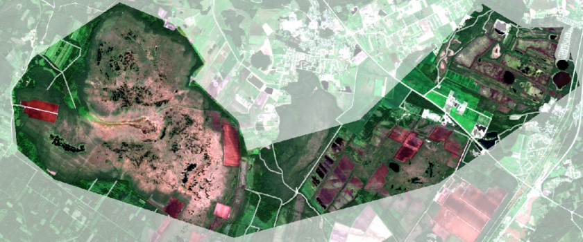
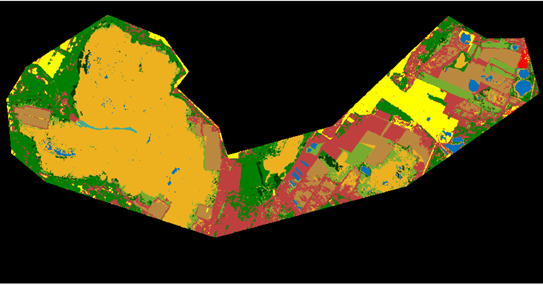
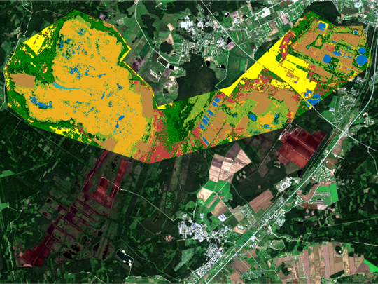
Dynland (image on the bottom) gives realistic classification of the actual satellite image, while the state-of-the-art Random Forest algorithm (image in the middle) fails to perform. The results of the Dynland classification helps to combat climate change by providing data for the calculation of the greenhouse gas emissions.
Images top to bottom: 1) The original actual image, 2) The image classified using the state-of-the art supervised Random Forest algorithm, 3) The image classified using self-supervised Dynland algorithm.
Participating scientists

Dr.sc.comp. Juris Siņica-Siņavskis
Software engineer